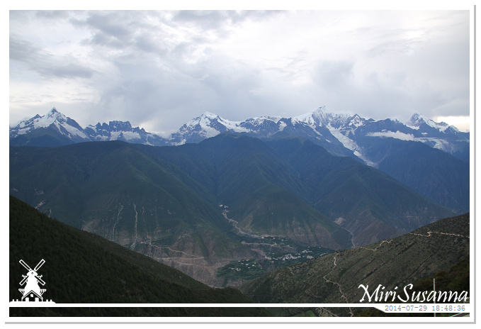
重頭戲來了,梅里雪山全景。從離開麗江往香格里拉起,我們走的就是著名的三江並流地帶。德欽飛來寺是我們此行最北的目的地,在這可以欣賞梅里雪山(太子十三峰)的美景。
Here we’re, the view of Meili Snow Mountain. Since we left Lijiang to Shangri-La, we entered the Three Parallel Rivers of Yunnan Protected Areas. Feilai Temple at Deqin was our northest destination of this journey, one of the best locations to see the great view of Meili Snow Mountain.
雲南三江並流保護區為世界自然遺產。三江並流指的是發源於青藏高原的怒江(薩爾溫江上游)、瀾滄江(湄公河上游)和金沙江(長江上游)這三條大江在雲南省北部穿過橫斷山脈高大的雲嶺怒山高黎貢山中幽深的峽谷,並行奔流數百公里而不交匯的自然奇觀。期間瀾滄江與金沙江最短直線距離只有66公里,而瀾滄江與怒江的最短直線距離則不到19公里。該區域的總面積為1.7萬平方公里,是中國境內面積最大的世界遺產地。怒江流進緬甸後就稱為薩爾溫江,最後流入印度洋。瀾滄江流出中國後,就成為湄公河,流經寮國、緬甸、泰國、柬埔寨和越南,最後流入南中國海。長江,亞洲第一、世界第三長河,是世界上完全在一國境內的最長河流,全長6300公里,最後在上海匯入東海。梅里雪山是雲南省最高的山峰,位於德欽縣東北方10公里處,這裡有13座山峰的海拔高度在6000米以上,最高的是卡瓦格博峰,高6740米,為雲南第一高峰,藏語為“雪山之神”, 是藏傳佛教的朝覲勝地。(參考維基:三江並流、梅里雪山)
The Three Parallel Rivers of Yunnan Protected Areas is a UNESCO World Heritage Site in Yunnan province. It lies within the drainage basins of the upper reaches of the Jinsha (Yangtze), Lancang (Mekong) and Nujiang (Salween) rivers, in the Yunnanese section of the Hengduan Mountains. The protected areas extend over 15 core areas, totalling 939,441.4 ha, and buffer areas, totalling 758,977.8 ha across a region of 180 km by 310 km. Here, for a distance of over 300 km, three of Asia’s great rivers run roughly parallel to one another though separated by high mountain ranges with peaks over 6,000 meters. After this area of near confluence, the rivers greatly diverge: the Nujiang River becomes Salween and empties out at Moulmein, Burma, into the Indian Ocean, the Lancang becomes the Mekong and south of Ho Chi Minh City, Vietnam, empties out into the South China Sea and the Yangtse flows into the East China Sea at Shanghai. Selected nature reserves and places of scenic beauty in this unique region were collectively awarded World Heritage Site status in 2003 for their very rich biodiversity and outstanding topographical diversity. Meili Snow Mountain is the highest mountain range of Yunnan Province. There are 13 peaks higher than 6km, the highest peak is Kawagebo (or Kawa Karpo), 6740m high, is considered sacred for Tibetan Buddhists. (More info at wikipedia: Three Parallel Rivers of Yunnan, Meili Snow Mountain)
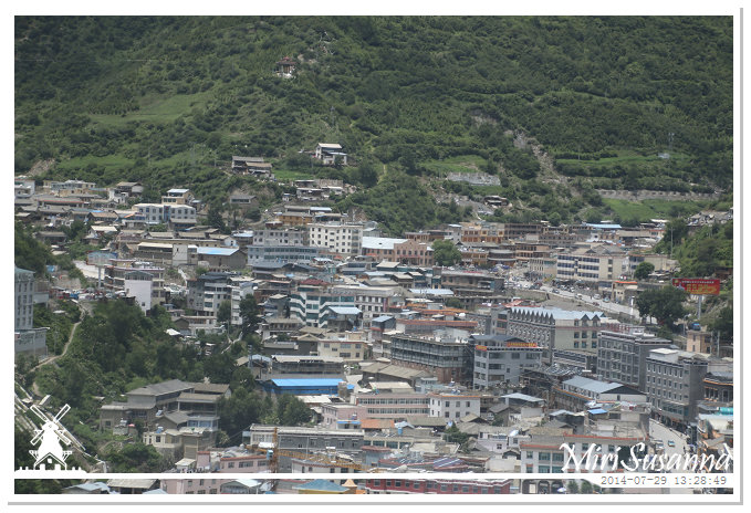
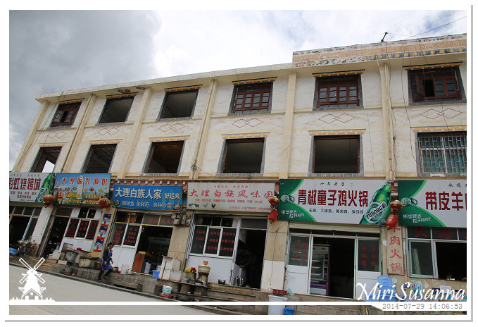
下午一點半,我們來到德欽了。
We arrived Deqin.
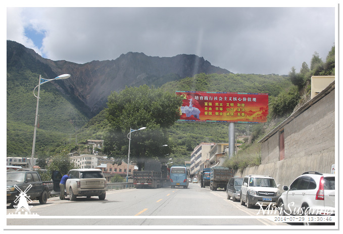
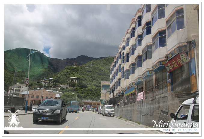
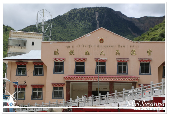
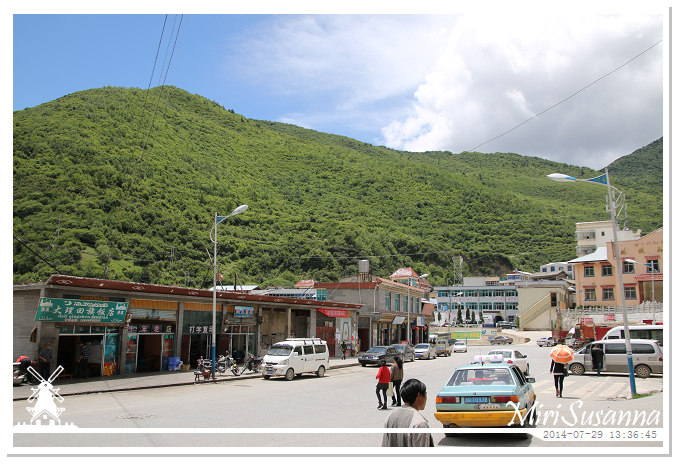
在找餐廳用午餐。
Looking for restaurant to have our lunch.

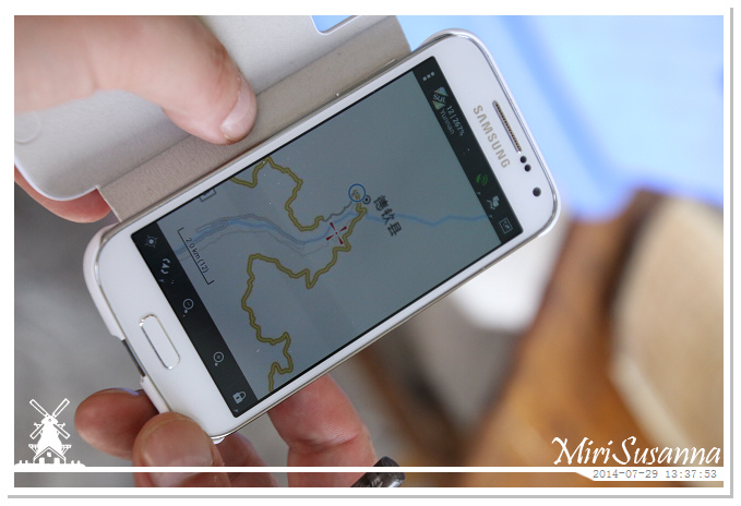

點了餐,坐下來,才看到這。
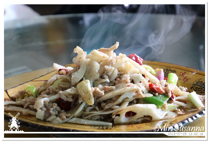
蓮藕炒肉絲。
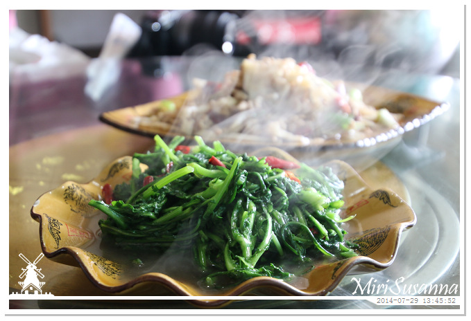
時菜。
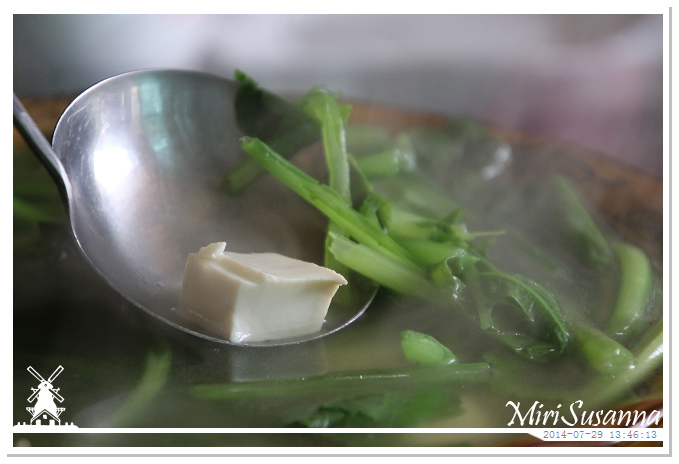
青菜豆腐湯。
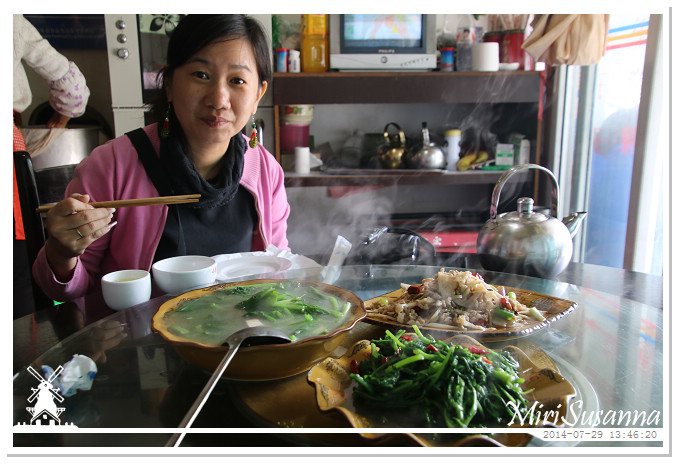
開動了。

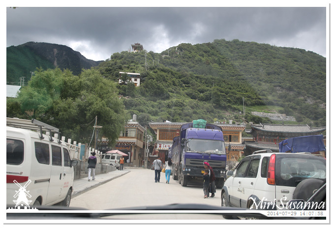
繼續往飛來寺。
Continue our way to Feilai Temple.
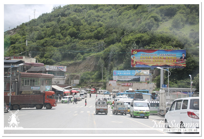
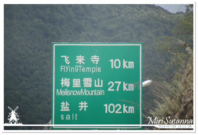
飛來寺。
Feilai Temple or Flying Temple?鹽井,是產鹽的地方,藏語叫“察卡洛”,英文就直接叫salt。
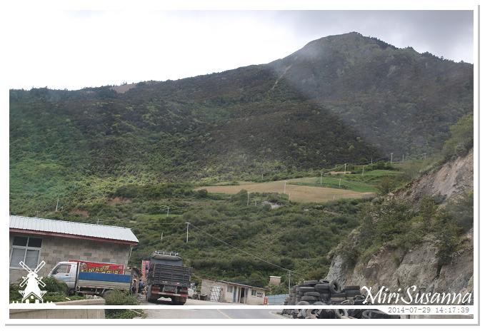
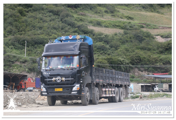
藏區來的卡車都帶有藏區的特色。
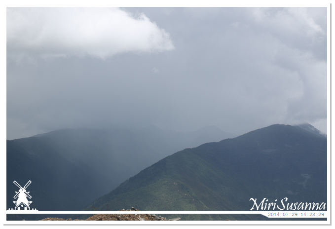
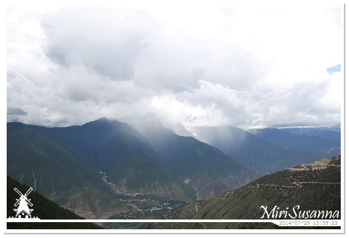
遠處的山頭在下著雨。
It’s raining.
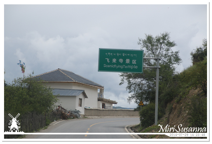
來到飛來寺景區。
Arrived Feilai Temple Scenic Area.
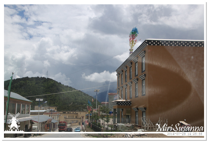
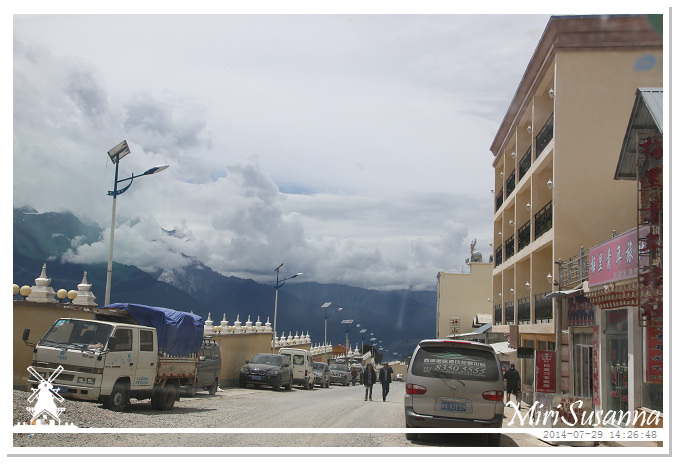
往酒店途中,經過梅里雪山飛來寺觀景台。
On the way to our hotel, passing Feilai Temple Meili Snow Mountain Sightseeing Area.
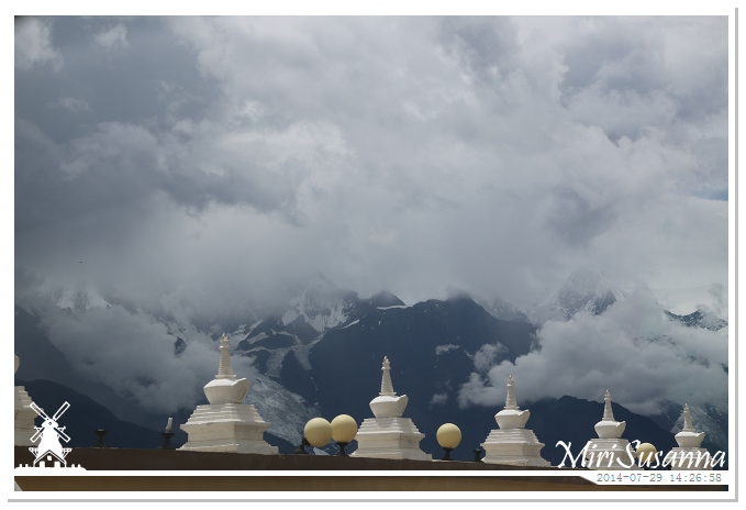
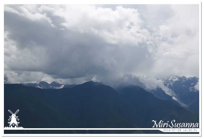
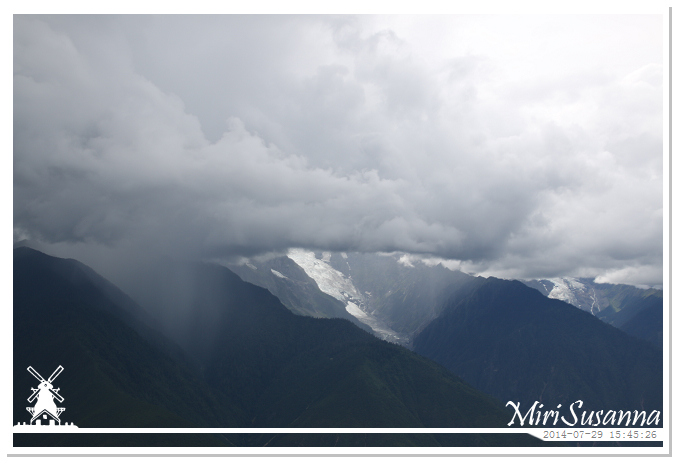
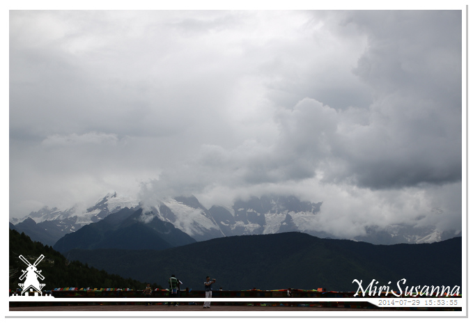
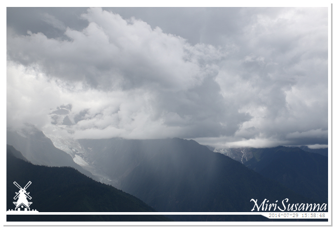
山峰都躲在雲層裡,有些地方還在下著雨。
The peaks were hidden in clouds and was even raining somewhere.

Checked-in at hotel.
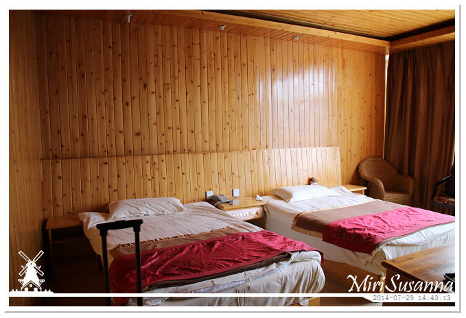
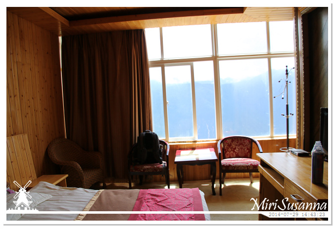
景觀房,從房裡就能欣賞梅里雪山的全景。
Nice sightseeing location.
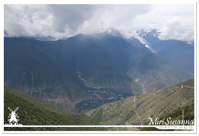
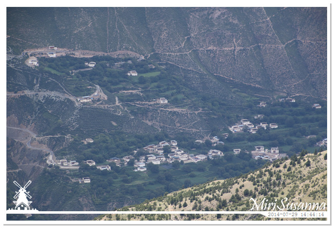
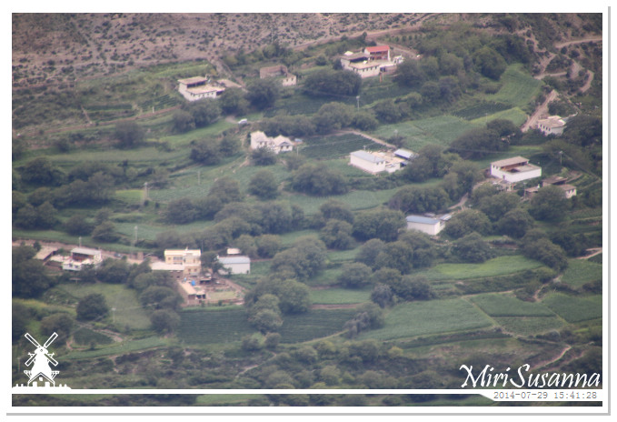
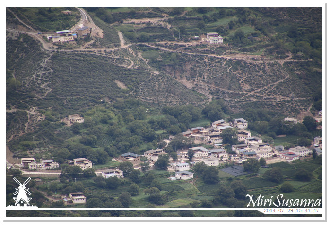
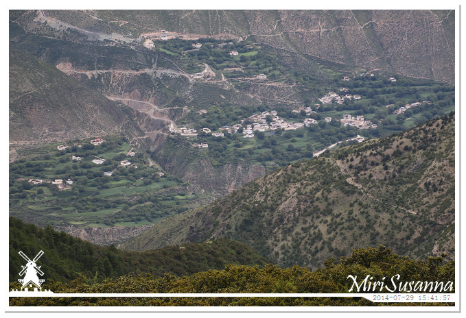
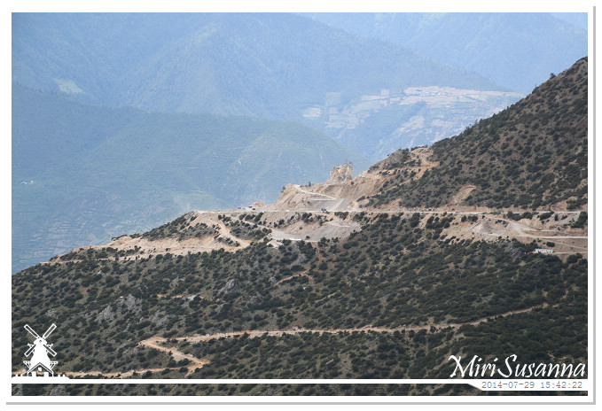
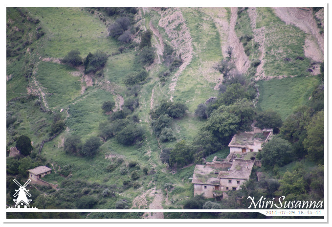
山谷的村落。
Village at valley.
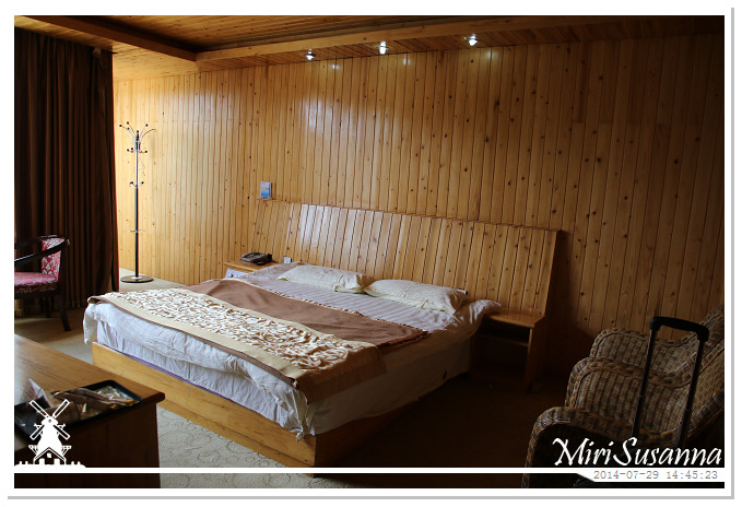
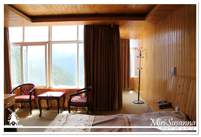
我們的兩間房間都是景觀房。
Both rooms could enjoy the great view of Meili Snow Mountain.
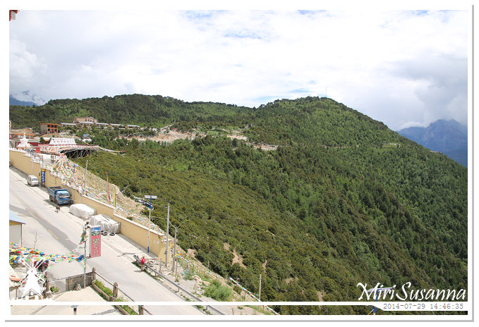
準備去飛來寺觀景台走走。
We’re going to Feilai Temple sightseeing area.
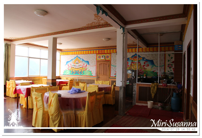
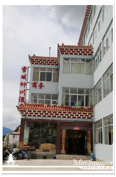
雪域神川酒店。
Xueyushenchuan Hotel.
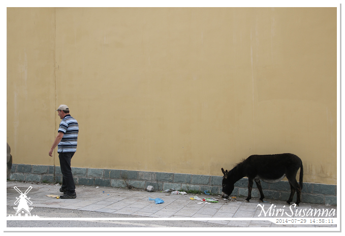
Bart & donkey.
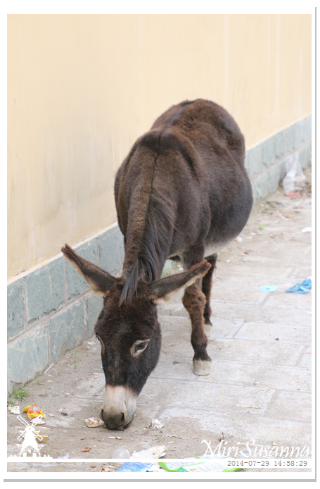
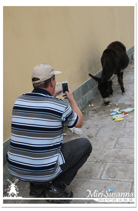
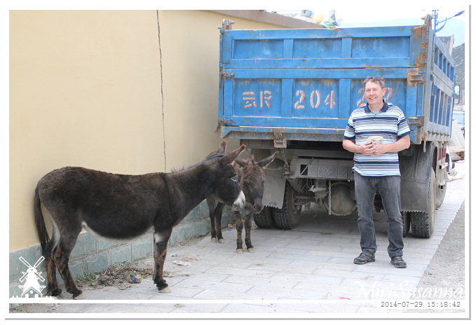
巴特對驢子有特殊情懷,都想跟牠們合照。
Bart likes donkeys a lot, and also in picture with them.
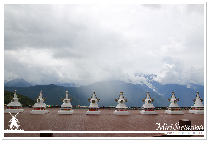
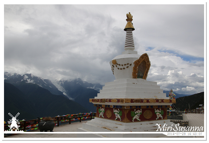
梅里雪山飛來寺觀景台。
Feilai Temple Meili Snow Mountain sightseeing area.
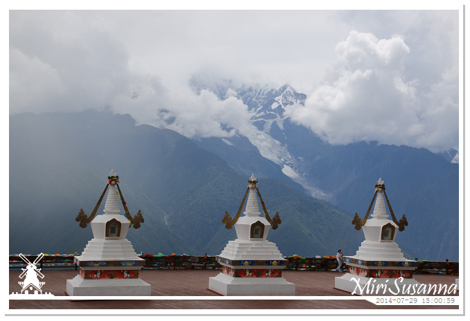
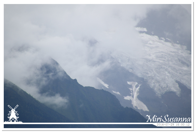
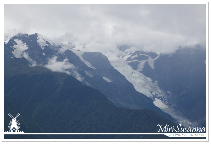
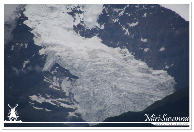
主峰卡瓦格博(太子峰)藏在雲裡,只看到明永冰川。
Kawagarbo Peak, 6.740m, hidden in cloud, is the highest mountain of Yunnan Province. In picture, you can see the Mingyong Glacier.
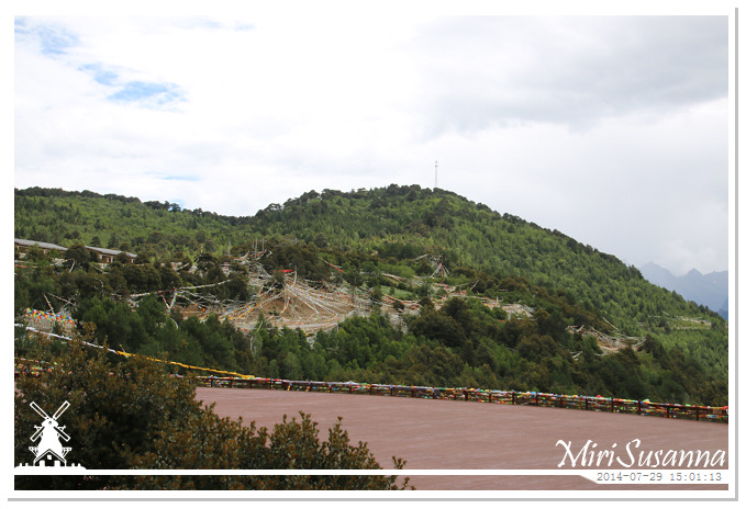
往飛來寺的路因雨後危險而沒開放,我們只能在觀景台跟梅里雪山遙遙相望。
Because of bad road condition, we could not visit Feilai Temple, which used to be a famous temple and location to see the whole view of Meili Snow Mountain.
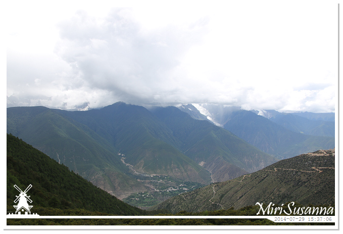
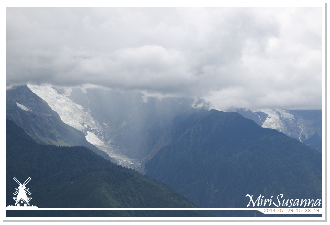
Raining there.
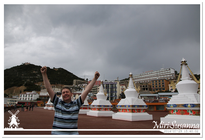
心情很好的荷蘭人。
Happy dutch guy.
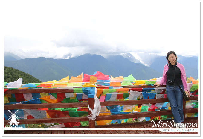
漂亮妹妹。
Pretty girl.
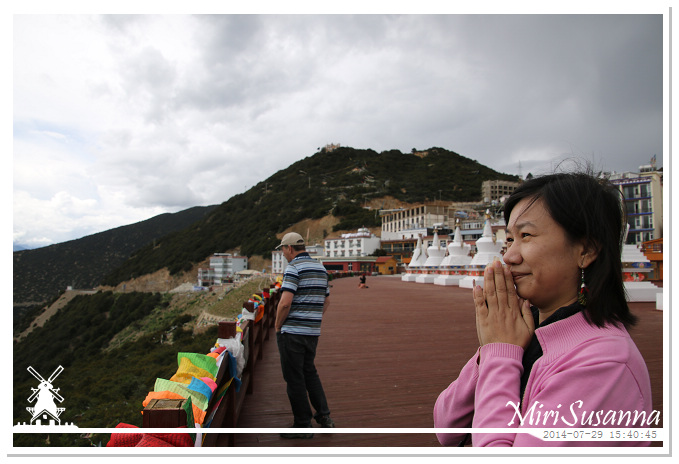
大妹默默祈望有緣見到梅里雪山的全景。
Jessie wished to have the chance to see all peaks of the snow mountain.
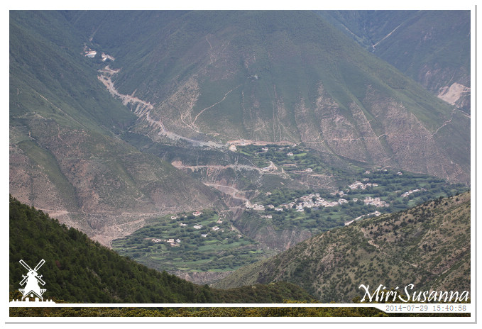
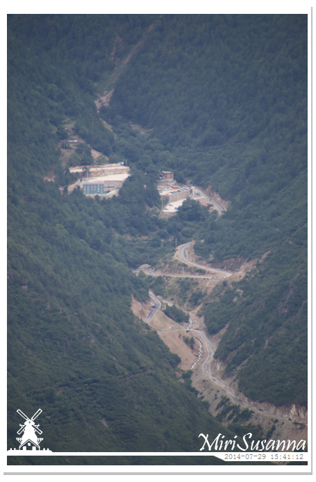
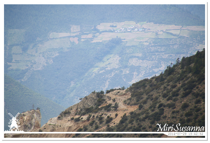
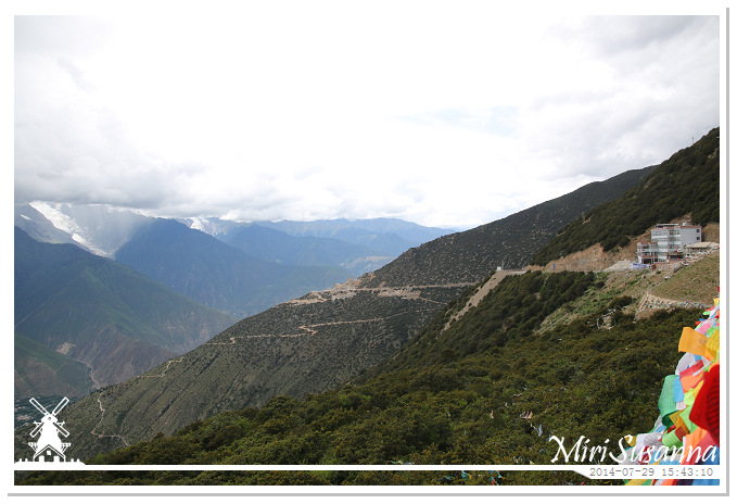
右邊是我們的酒店。
Our hotel in sight.
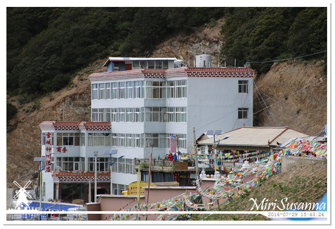
我們的房間就在五樓的角頭兩間。
Our room were the first two at 5th floor.
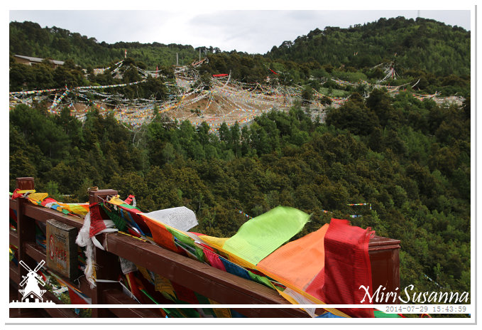
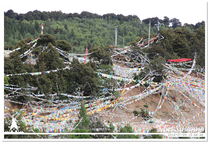
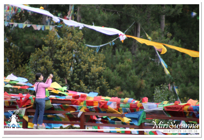
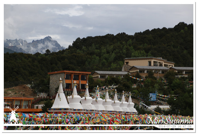
牽滿五彩經幡的山頭。
Prayer flags.
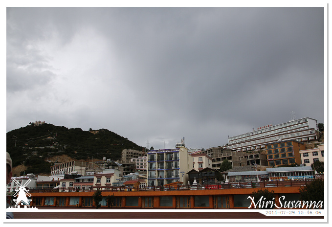
飛來寺這一帶擠滿了酒店客棧。
Many hotels at this area because of the wonderful scenic.
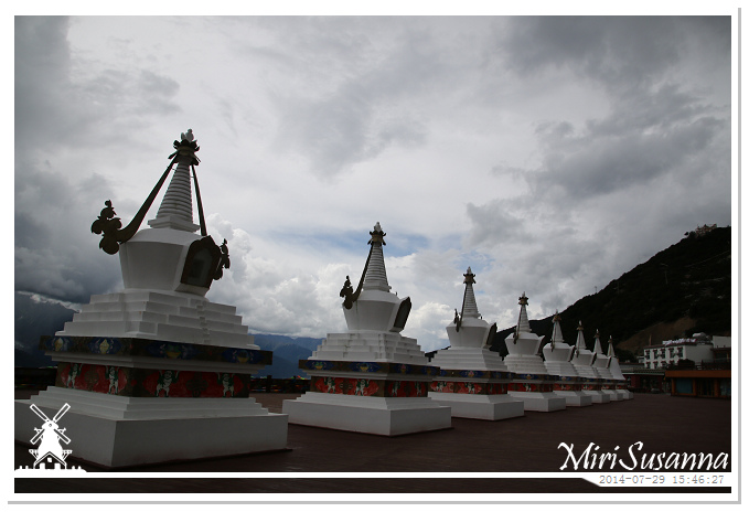
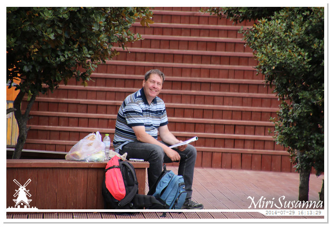
在樹下看書的巴特。
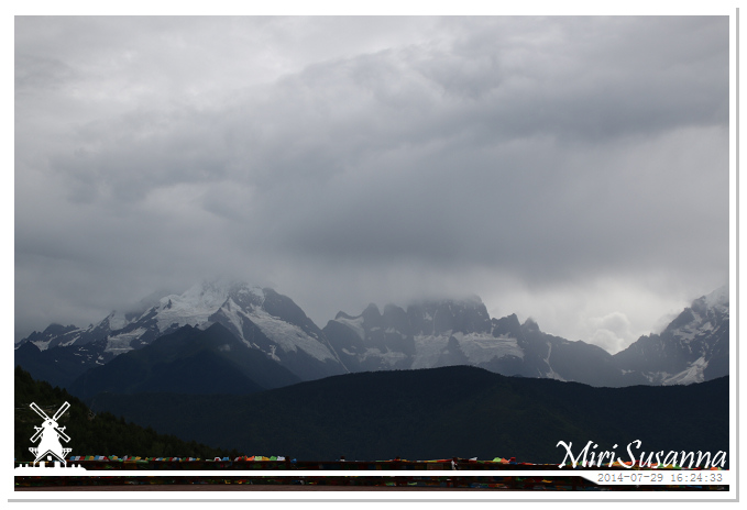
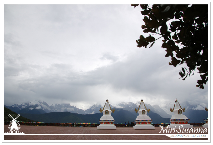
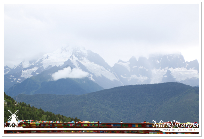
南邊的兩座山峰:緬茨姆峰,加瓦仁安峰。
The first two peaks from south: Miancimu (left) and Jiawarenan.
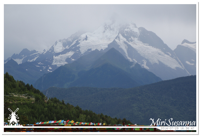
缅茨姆峰,也稱神女峰,亭亭玉立,氣質若蘭,傳說是卡瓦格博山神的妃子,海拔6054米。
Miancumu Peak, 6054m.
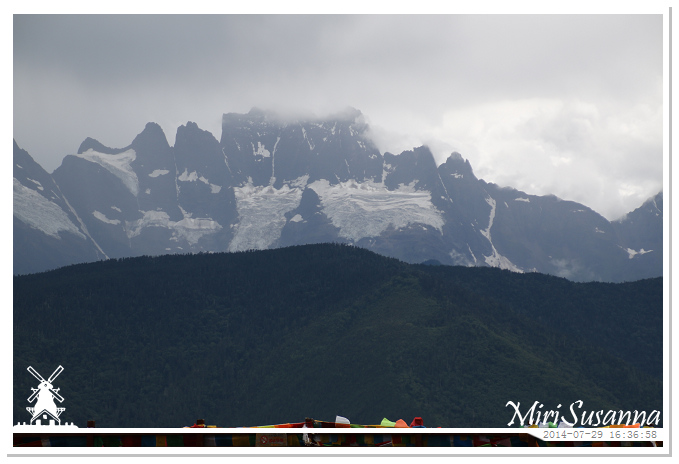
加瓦仁安,形似法冠,也稱五方佛峰,五佛冠,海拔5470.5米。
Jiawarenan Peak, 5470.5m.
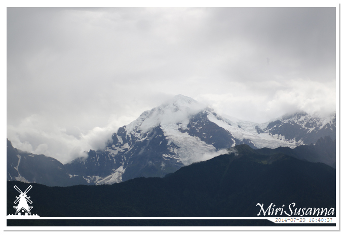
布迥松階吾學峰(巴烏八蒙),海拔6000米,布迥藏語意為“小兒子”,傳說其為卡瓦格博和緬茨姆的兒子。
Right/North of Jiawarenan, Xaiunang Peak, 6000m.
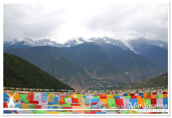
卡瓦格博峰躲在雲裡。
Kawagebo Peak was still covered by cloud.
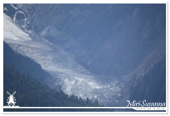
卡瓦格博峰的明永冰川。
Mingyong Glacier under Kawagebo Peak.
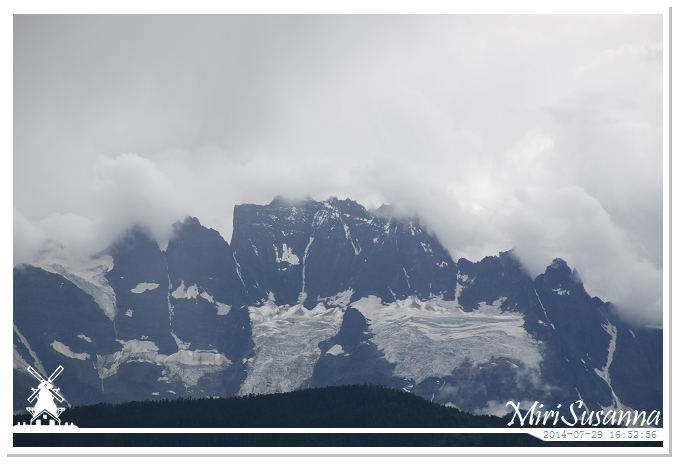
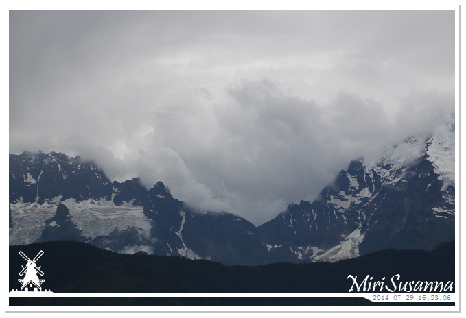
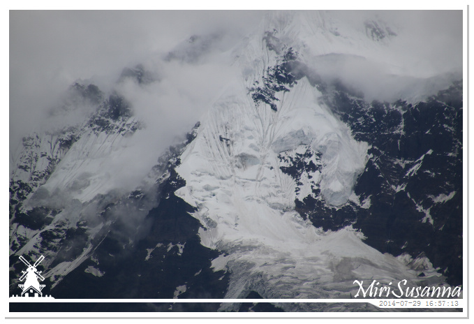
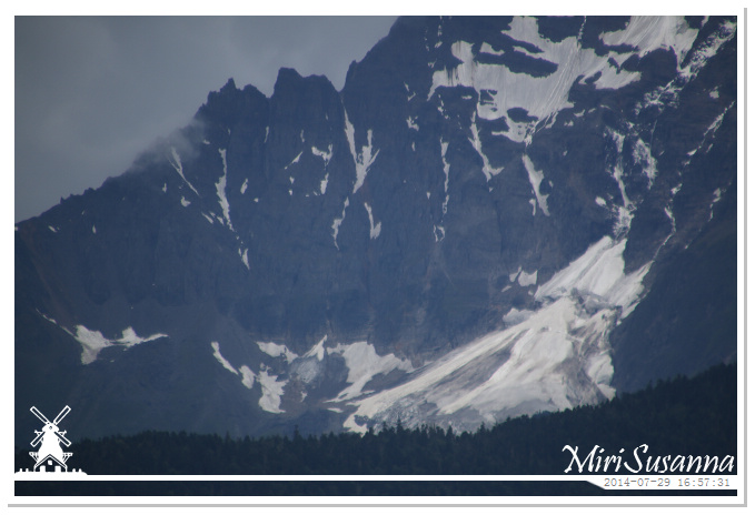
重重的雲就像要翻過山頭來。
Heavy clouds seemed want to climb over the peaks.
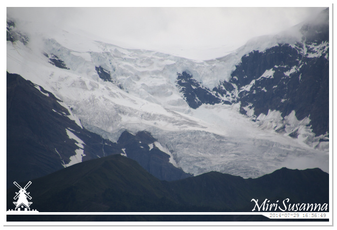
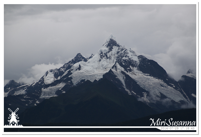
神女峰露出全貌了。
Whole look of Miancumu Peak. Some people claimed this peak as the most beautiful peak of Meili Snow Mountain.
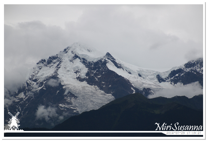
她兒子也快露出全貌了。從下午三點開始,等了兩個小時半,雲還是沒開完,於是決定回酒店去繼續等。
After 2.5 hours, we still couldn’t get the whole view of Meili Snow Mountain. So we decided to go back to our hotel room to wait for it.
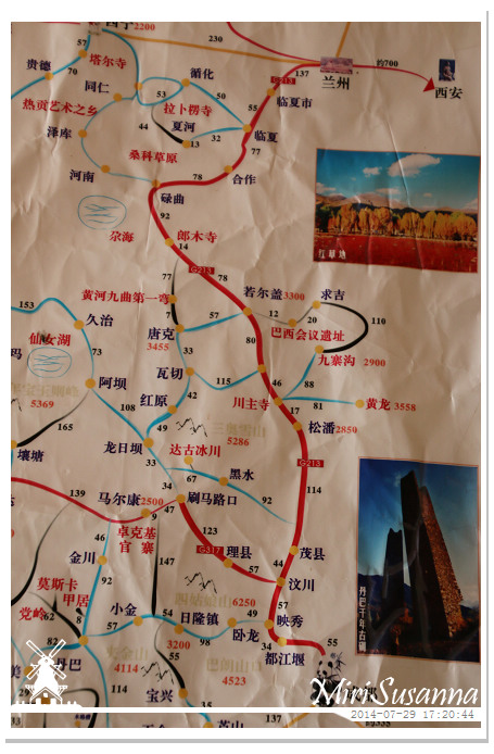
2009年走過成都-汶川-松潘-九寨溝-若爾蓋-黃河九曲第一灣-川主寺-黃龍-成都。
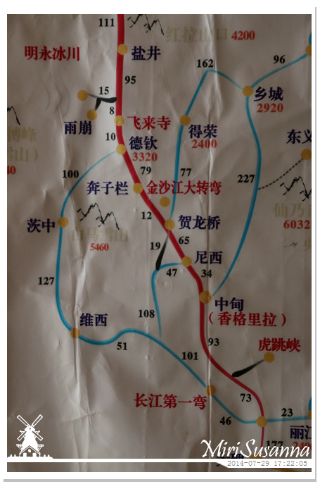
2014年走過麗江-虎跳峽-香格里拉-奔子欄-德欽-飛來寺-香格里拉。
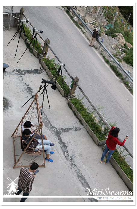
隔壁客棧的陽台,大家都在等著。
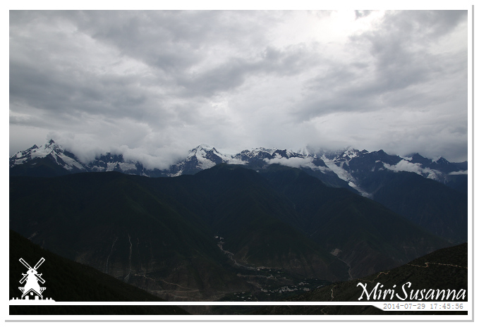
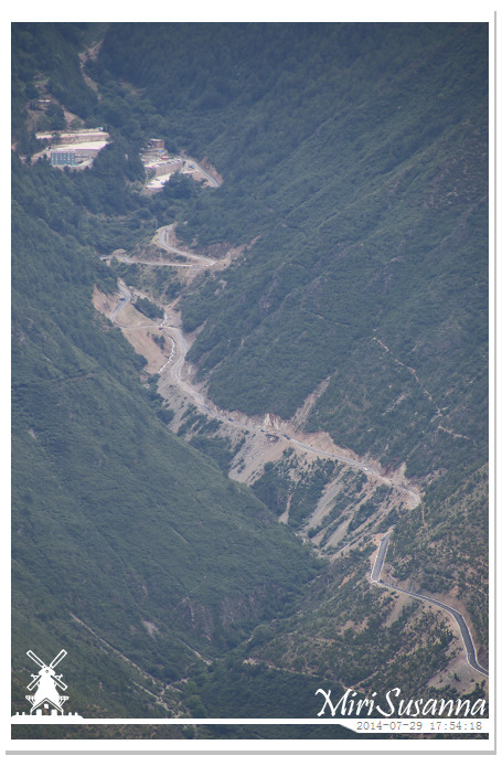
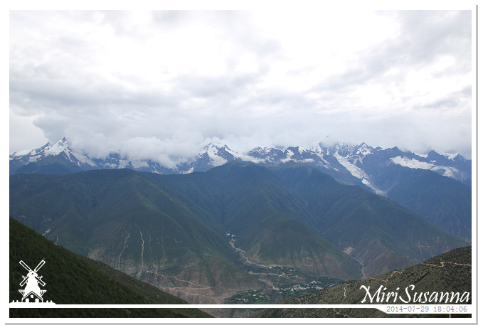
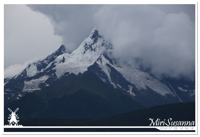
唉,怎麽神女又開始害羞了。
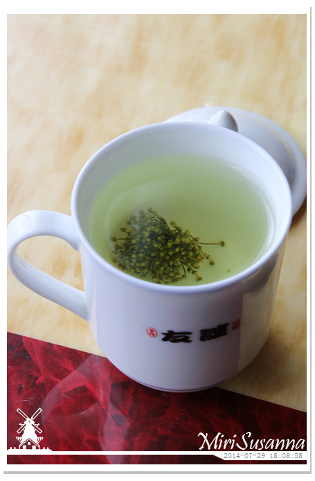
妹妹泡的七星茶。
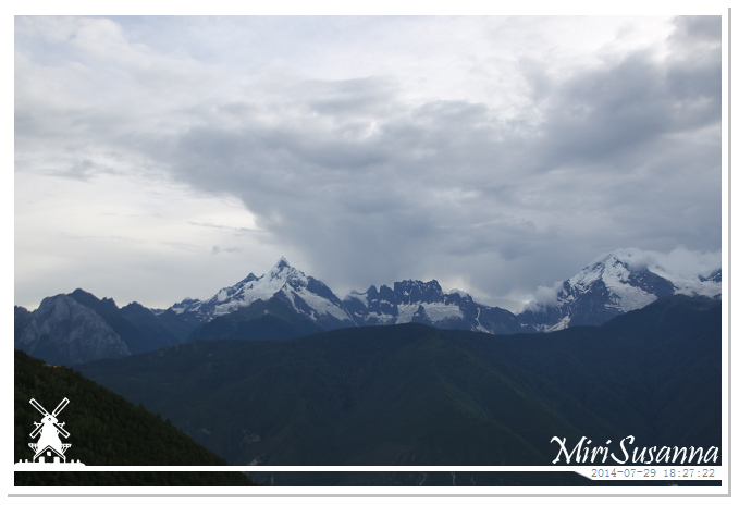
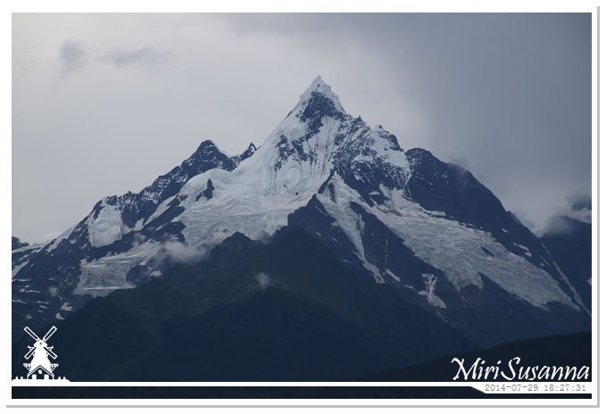
緬茨姆峰。
Miancumu Peak.
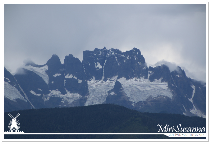
加瓦仁安峰。
Jiawarenan Peak.
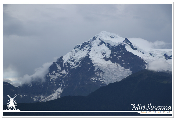
布迥松階吾學峰。
Xaiunang Peak.
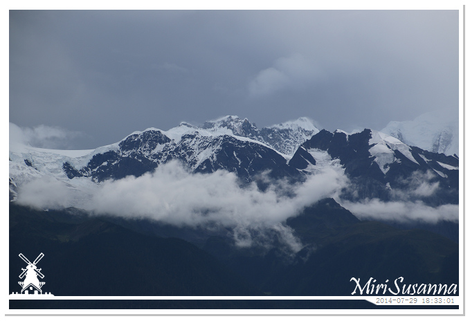
布迥松階吾學峰的右側是帕巴尼頂九焯峰(帕巴乃丁吉),藏語意為十六尊者峰。
Right/North of Xaiunang Peak, Peak X1 (cannot find the English name yet).
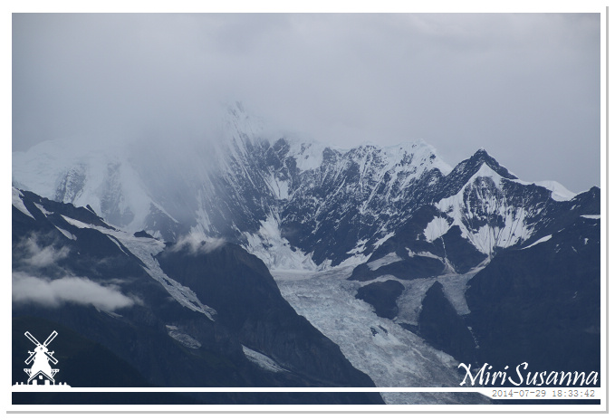
耐心等待卡瓦格博峰的雲層散去。
Waiting, just waiting……
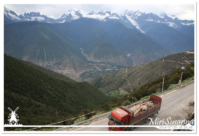
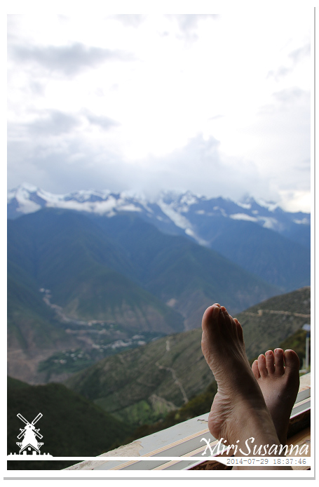
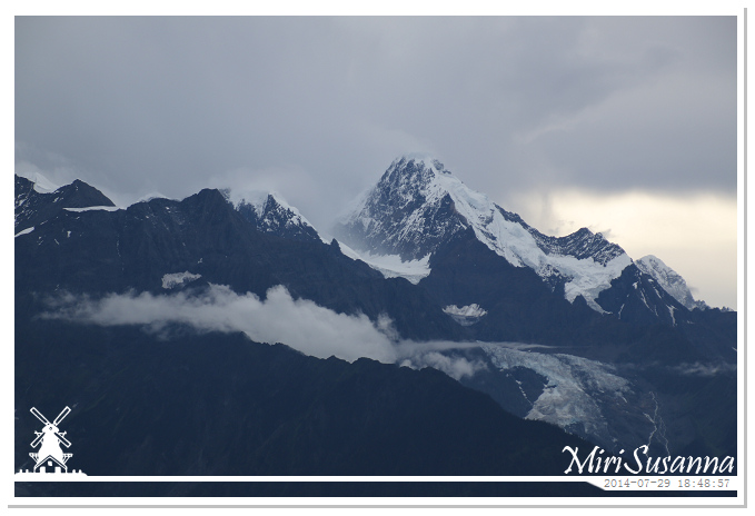
瑪兵扎拉旺堆峰,海拔6365米,藏語意為“無敵降魔戰神”,相傳他是卡瓦格博在東北方向的一名守護神。
Peak X2 (also cannot find the English name).
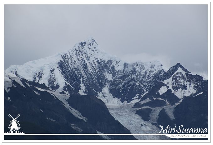
卡瓦格博峰露出全貌了。
Yes, this is Kawagebo Peak, 6740m.
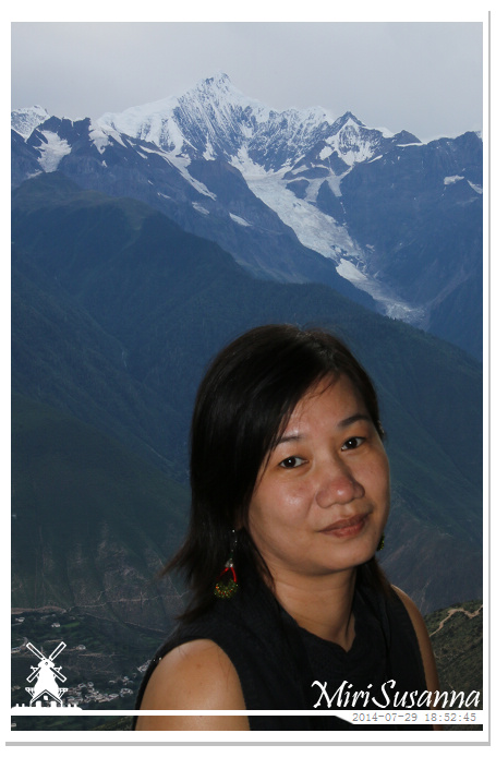
太子峰,明永冰川,美女。
Kawagebo, Mingyong Glacier, Jessie.
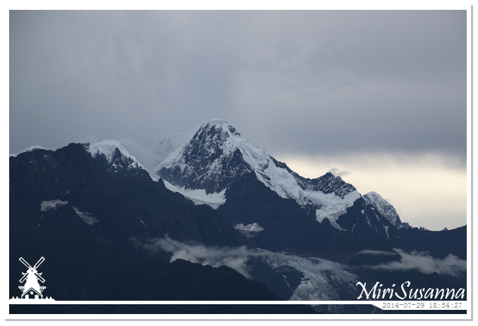
瑪兵扎拉旺堆峰後的奶日頂卡峰(來日頂卡)隱隱若現,海拔6400米,藏語意為“聖山頂”。
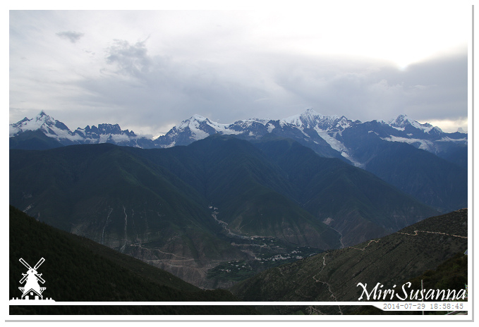
從左至右,由南到北:緬茨姆峰(6054m)、加瓦仁安峰(5470m)、布迥松階吾學峰(6000m)、帕巴尼顶九焯峰(5880m)、卡瓦格博峰(6740m)、瑪兵扎拉旺堆峰(6379m)、奶日頂卡峰(6400m)、粗歸臘卡峰。
From left to right, or from south to north: Miancumu (6054m), Jiawarenan (5470m), Xaiunang (6000m), Peak X1, Kawagebo (6740m), Peak X2.
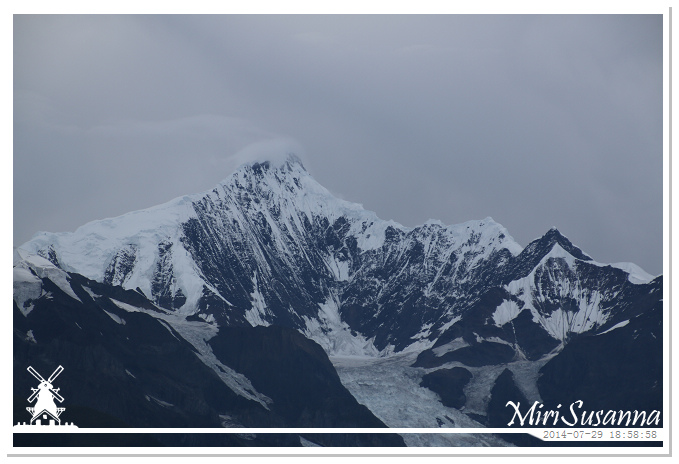
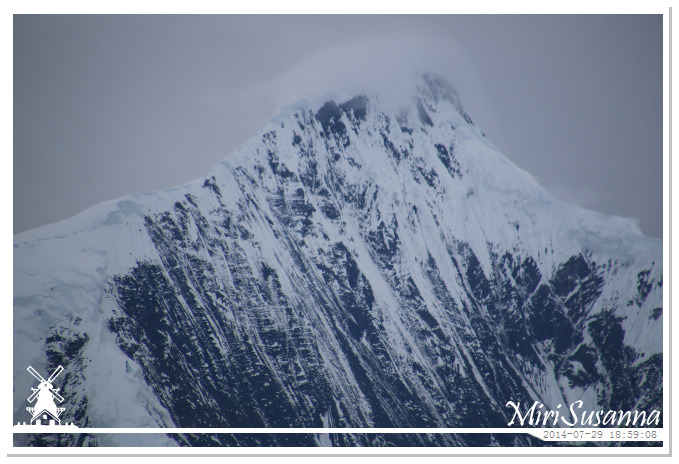
很快地,他有帶上小雲帽了。
Kawagebo with cloud cap again.
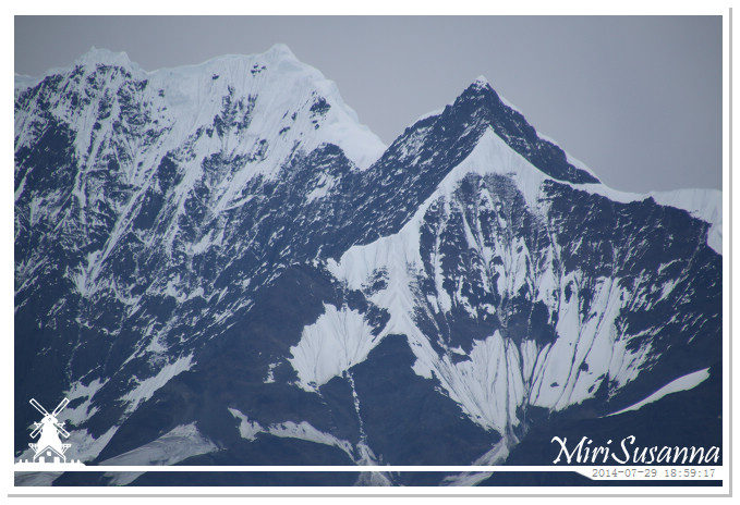
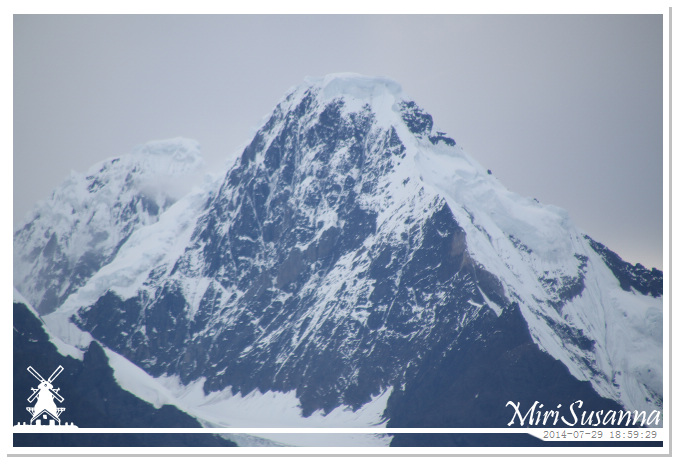
瑪兵扎拉旺堆峰,奶日頂卡峰。
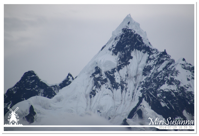
緬茨姆峰後側為洛拉爭歸貢布峰(5229m)。
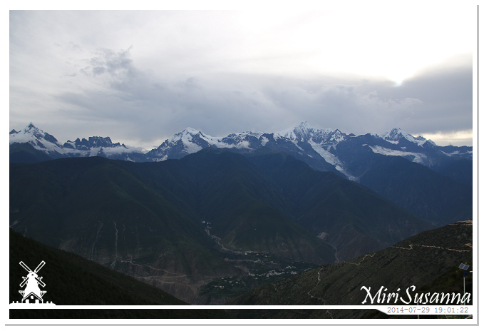
左邊又飄來雲帶,全景就快沒了。
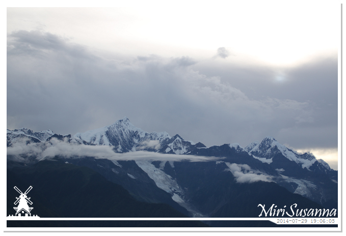
Cloudy again, the whole view was going disappear.
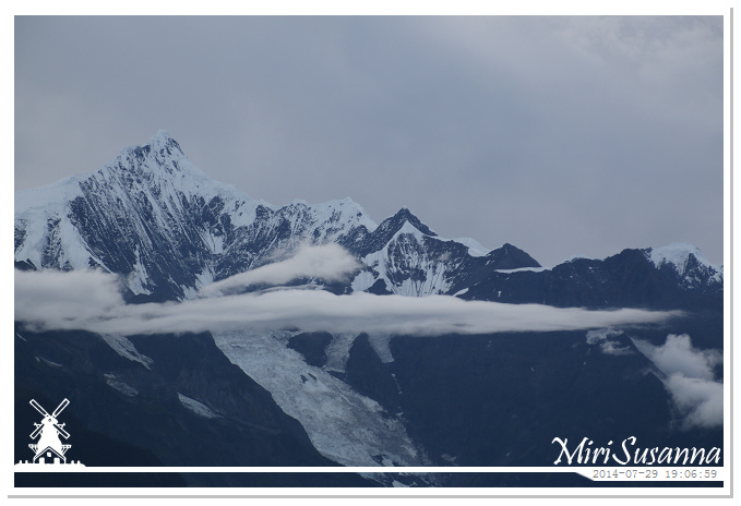
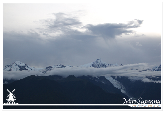
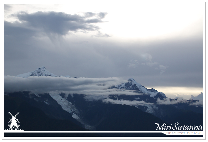
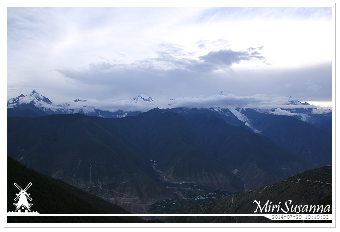
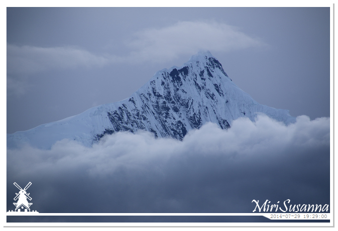
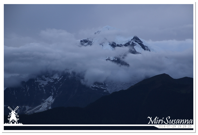
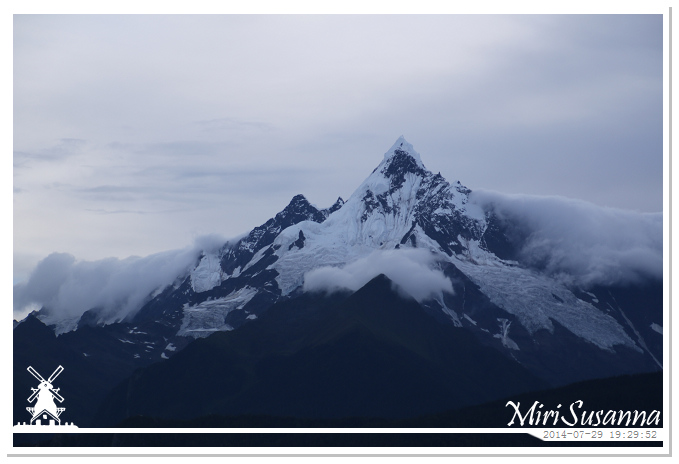
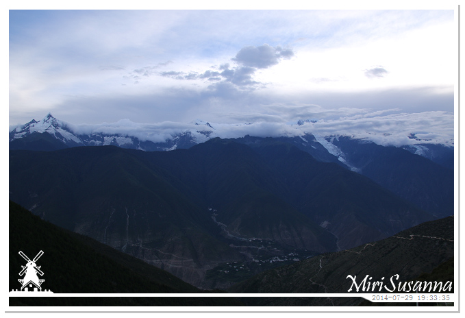
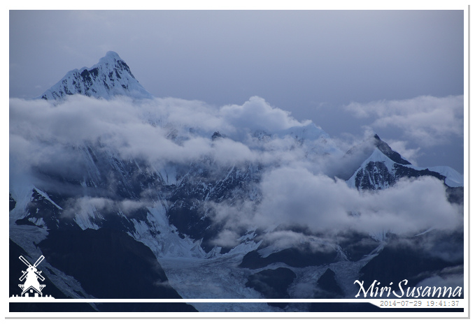
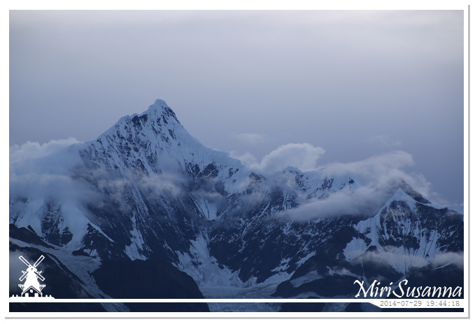
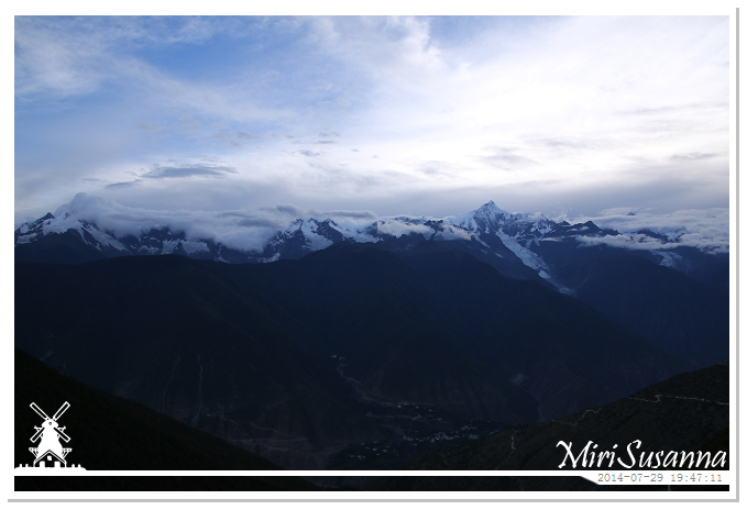
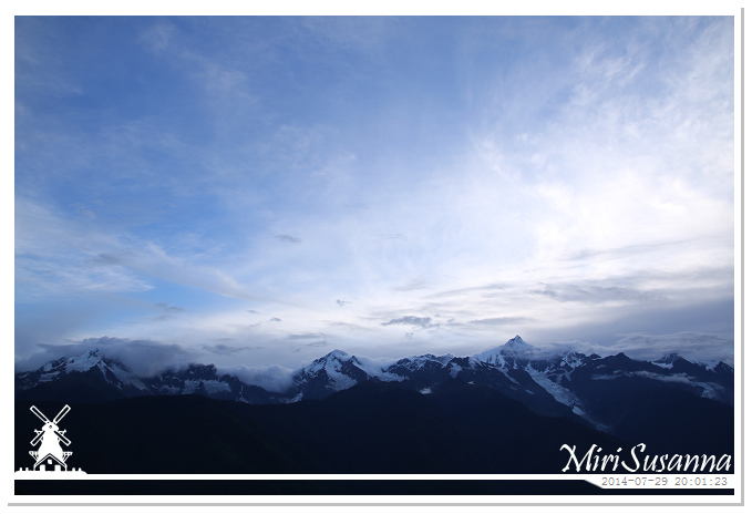
我們在梅里雪山的東邊,日落後,山的背面(西邊)還是相對比較亮。
We’re at the east of Meili Snow Mountian, so after sunset, it’s still brighter behind the mountain.
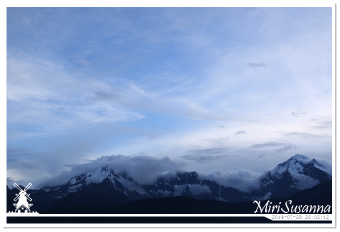
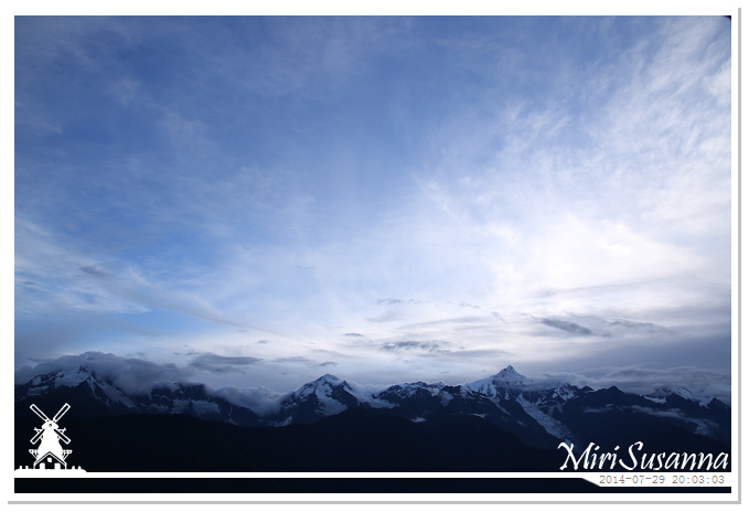
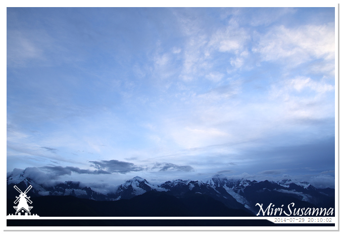
天色漸暗,來去覓食吧。
Ok, time for dinner.
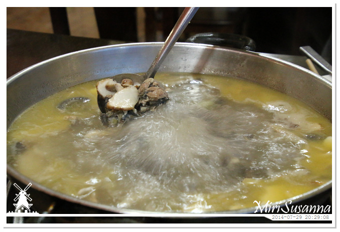
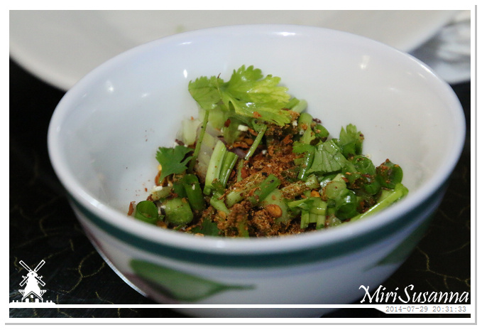
來個鮮菇雞湯火鍋暖暖身子。
Chicken mushroom steampot.
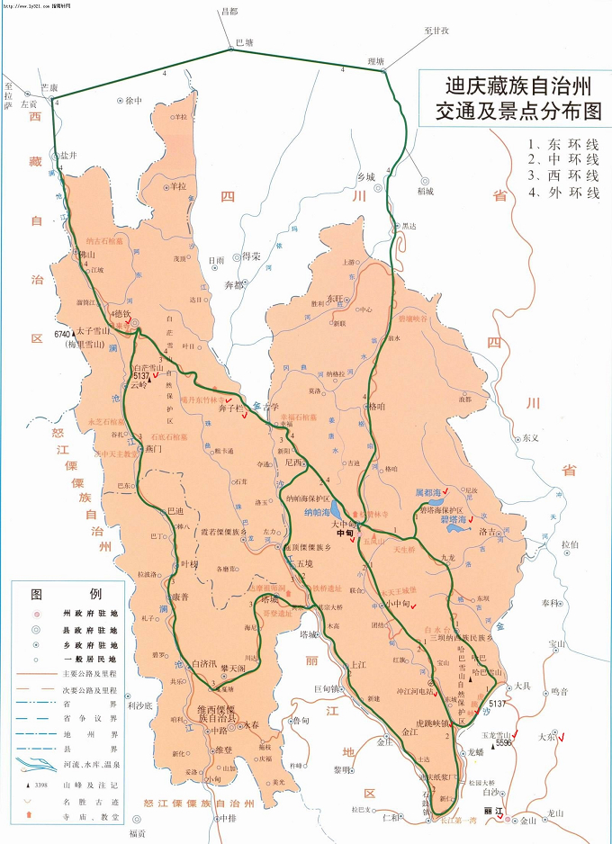
下方為三江並流區域及迪慶的交通圖。
Below are the map of the Three Parallel Rivers area and Diqing.
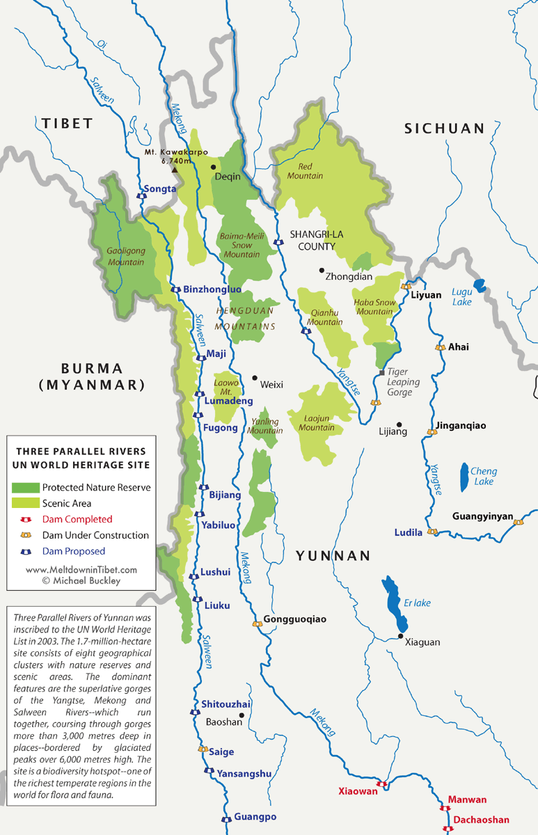
(source from: www.meltdownintibet.com)
