Category Archives: 冰島 Iceland

IS-D04。20240530 卡特拉地質公園 Katla Geopark (2)

Katla Geopark IMG_6902

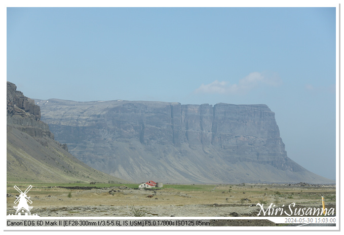
離開熔岩原,我們朝著冰河湖前進。這是沿途風光,含著名的Lómagnúpur山的景色。
[NL] Voorbij de lava field, reden we verder richting Jökulsárlón. Die zijn de foto’s onderweg, inclusief the mooie berg Lómagnúpur.
[EN] Through the lava field, we’re heading to Jökulsárlón, famous glacier lake. These’re the pictures on the way, including the magnificent Lómagnúpur mountain.
Continue reading

IS-D04。20240530 卡特拉地質公園 Katla Geopark (1)

Katla Geopark IMG_6713

其實,我們自第三天起就進入了廣大的卡特拉地質公園。這是從迪霍拉里岬角、經維克往艾爾徳熔岩原的沿途風光。
[NL] Eigenlijk waren we sinds de derde dag al binnen het Katla Geopark. Die zijn de foto’s van Dyrhólaey, via Vik naar Eldhraun Lava Fields.
[EN] Since the 3rd day, we were travelling in the giant Katla Geopark. These are the photo’s from Dyrhólaey to Eldhraun Lava Fields.
Continue reading

IS-D04。20240530 迪霍拉里岬角 Dyrhólaey

Dyrholaey IMG_6551

這天往冰川的行程加插了迪霍拉里岬角,就為了圓馬丁冰島行的夢想:看海鸚鵡。我們趕在海鸚鵡出海上班前抵步,但風勢強大、還帶毛毛雨,我們走了一圈、欣賞岬角和黑沙灘的景色,遠遠瞄到幾隻海鸚鵡,算是不虛此行。
[NL] Dyrhólaey, waar puffins jaarlijks komen nesten, is onze extra bestemming van die dag. Puffins kijken staat namelijk op de top van Martijn’s wensenlijst van deze reis. Het uitzicht van Dyrhólaey en Reynisfjara (zwarte strand) was erg mooi maar het waaite zo hard. Gelukkig hadden we paar puffins gezien van heeeeel ver weg, dus de moeite waard.
[EN] This day, before continue our journey from Vik to Höfn, we went back to Dyrhólaey. Martijn would like to spot the puffins there. It was so windy but we enjoyed the unique landschaps and beautiful scenery of Dyrhólaey, and saw some puffins from far away.
Continue reading

IS-D03。20240529 雷尼斯黑沙灘 Reynisfjara

Reynisfjara IMG_6435

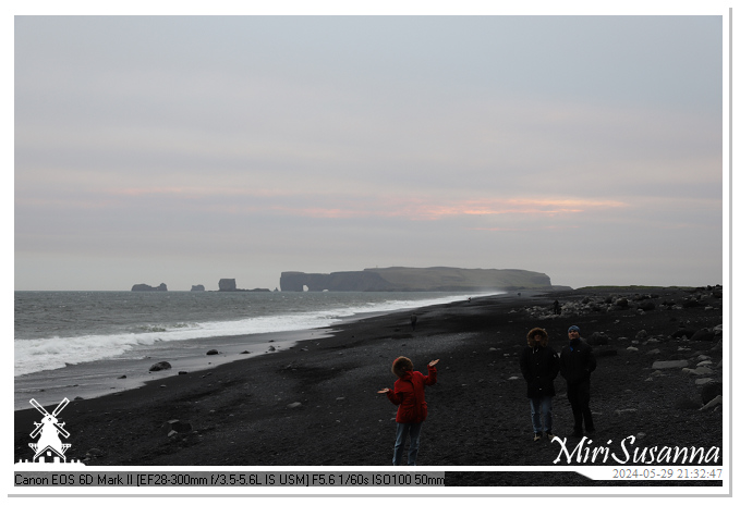
祭完五臟廟,我們決定去獵海鸚鵡。到迪霍拉里岬角吃了閉門羹,於是去了鼎鼎有名的雷尼斯黑沙灘、走在黑沙石上看了玄武岩海蝕洞和海蝕柱海精靈,算是滿載而歸。
[NL] Na het eten, we besloten alsnog naar Dyrhólaey de puffins te jagen. We kwamen aan bij een gesloten poortje want de puffins moeten niet gestoord worden tijden nesten. Okey, toen gingen we naar Reynisfjara, de zwarte strand, voor andere uitzichten: de Hálsanefshellira grot en Reynisdrangar. Zeker, een geslagen afsluiting van een lange dag.
[EN] After dinner, we decided to hunt puffins. We arrived in front of the closing gate of Dyrhólaey (and we’re not the only stupid tourists), then we went to Reynisfjara to explore the black beach, the Hálsanefshellira cave and the Reynisdrangar. Anyway, a wonderful sightseeing as closing of a long day.
Continue reading

IS-D03。20240529 From Skógafoss to Vik

Skógafoss - Vik IMG_6256

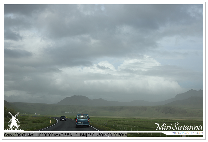
離開森林瀑布,我們直朝維克前進,沿途景象詭異,灰褐色的雲懸在低空、沿途有肉眼可見的沙塵圍繞著,心裡想著非洲的沙塵暴的威力能到緯度這麽高的冰島嗎?後來知道冰島當天下午一點有火山爆發,但距離兩百多公里以外也沒聯想太多。現在重溫照片,這不就該是火山灰縈繞的景色嗎?這沿途“咔嚓”下來的景觀為旅途增添了一段難忘的回憶。
[NL] Toen we Skógafoss verlieten, reden we verder richting Vik, onze overnachting plek. Het was zo raar dat we onderweg veel grijsbruine wolken laag zagen hangen, en er veel stof in de lucht was. Toen had ik nog de gedachte hoe krachtig de zandstorm in Afrika IJsland kon bereiken. Later hoorden we dat die dag rond 13:00 uur vulkaanuitbarsting was geweest vlakbij Grindavik, maar ja, 200km verderop. Wie zou de gedachte hebben dat die de ashwolken van vulkaanuitbarsting kunnen zijn, als je die nooit hebt meegemaakt? Achteraf zie ik in mijn foto’s, en pas besef dat wat voor geluk ik die allemaal onderweg kan vastleggen, bewaren en delen met jullie.
[EN] After visiting Skógafoss, we continued our journey to Vik. On the way, the sky was so weird with low hanging grey/brown clouds and huge dusts in air. I was wondering how powerful was the dust strom of Africa to approach Iceland, but, I never knew that these could be the ash clouds and dust of volcanic eruption. Later we knew that there was volcanic eruption nearby Grindavik (about 200km from our location) at 13pm and but we didn’t get the links to these sights. Now, I’m reviewing these pictures on the way with ash clouds and dust, what a unique memory it’s in our Iceland tour.
Continue reading

IS-D03。20240529 森林瀑布 Skógafoss

Skógafoss IMG_6056

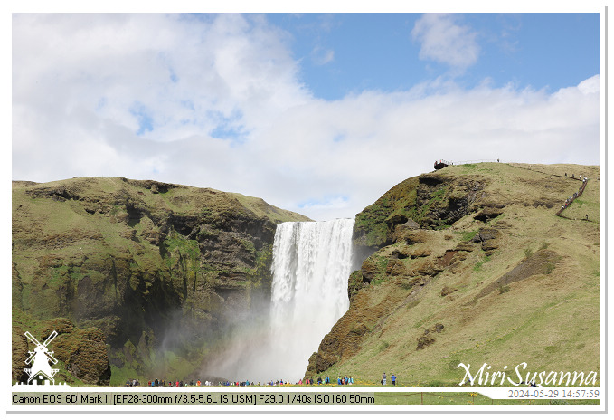
下午近三點,我們來到了森林瀑布。在瀑布下拍了她帶著彩虹的風采,我們就沿著階梯往上去了她的觀景台,並順著步道走了一小段,欣賞她上游的幾個瀑布。
[NL] We kwamen ‘s middags tegen drie uur bij Skógafoss aan. Zeker hebben we meteen de foto’s van deze mooie waterval met regenboog gemaakt, en daarna de 527-trappen genomen naar de uitkijkplatform en nog stukje gewandeld om andere watervallen te bekijken.
[EN] After arriving at Skógafoss, we ran to see this beautiful waterfall with rainbow closely. Then, we took the steps to the observation platform above Skógafoss, and a short walk to see other waterfalls at its upstream.
Continue reading

IS-D03。20240529 人工挖鑿石洞 Rútshellir

Rutshellir IMG_6015

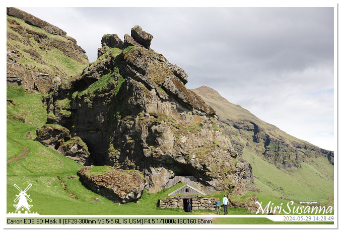
從塞里雅蘭瀑布往森林瀑布,路過Hrútafell山下的Rútshellir人工挖鑿石洞,我們當然停車參觀一下。
[NL] We hebben Rútshellir tegengekomen toen we onderweg van Seljalandsfoss naar Skógafoss gingen. Zeker gingen we deze bijzondere plek even bekijken.
[EN] We met Rútshellir on the way from Seljalandsfoss to Skógafoss and had a short stop to visit this unique cave.
Continue reading

IS-D03。20240529 塞里雅蘭瀑布 Seljalandsfoss & 峽谷河瀑布 Gljúfurárfoss

Seljalandsfoss IMG_5943

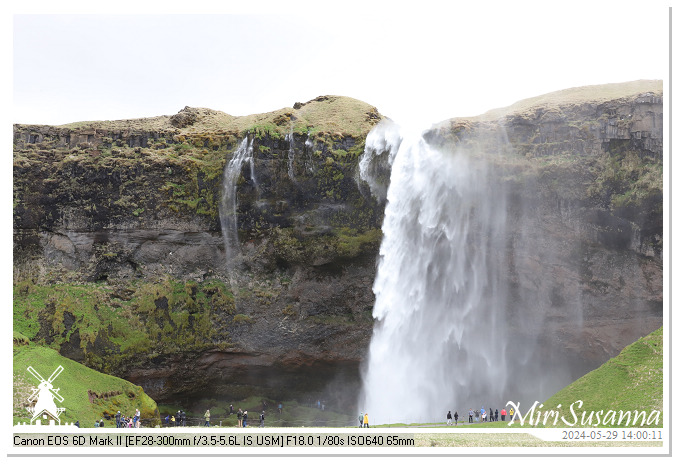
塞里雅蘭瀑布與離其約700米外的峽谷河瀑布,是兩座水源不同的瀑布。她們就在環島一號公路旁,是自駕游的著名打卡景點。
[NL] Seljalandsfoss en Gljúfurárfoss zijn twee benoemde watervallen lang de Þjóðvegur 1 (Nationale weg 1) of Hringvegur (Ringweg). Ze zijn ongeveer 700m van elkaar af maar ze zijn onderdeel van verschillende waterstromen.
[EN] At the west of Eyjafjallajökull and closed to the Ring Road (Route 1), we found the large waterfalls, Seljalandsfoss en Gljúfurárfoss. There are just about 700m away from each other but are a part of different rivers.
Continue reading

IS-D03。20240529 From Selfoss to Seljalandsfoss

Iceland IMG_5748

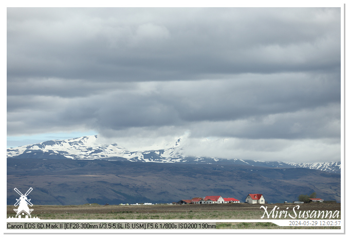
第三天的行程是從塞爾福斯到維克,途徑塞里雅蘭瀑布、峽谷河瀑布、森林瀑布。這是橫跨白河及肖爾索河盆地、往塞里雅蘭瀑布的沿途景色。
[NL] De derde dag waren we van Selfoss vertrokken, de watervallen (Seljalandsfoss, Gljúfurárfoss en Skógafoss) bezocht en bij Vik aangekomen voor overnachting. Die zijn de serie foto’s onderweg naar Seljalandsfoss door het stroomgebied van Hvítá and Þjórsá.
[EN] The third day of our tour was the day of waterfalls. We have visited Seljalandsfoss, Gljúfurárfoss and Skógafoss. These are the pictures from Selfoss to Seljalandsfoss, through the basin of Hvítá and Þjórsá.
Continue reading

IS-D02。20240528 塞爾福斯與奧富薩河流域 Selfoss & Ölfusá River

Selfoss IMG_5516

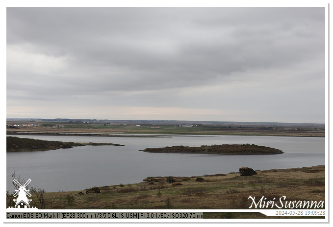
走完黃金圈,我們決定到塞爾福斯去吃肯德基。這是往返塞爾福斯、經過冰島流域最大的奧富薩河盆地的照片。
[NL] Na een dagje Golden Circle, gingen we naar Selfoss voor KFC. We reden heen en terug langs de Ölfusá rivier die met het grootste stroomgebied in IJsland (5.760 km2).
[EN] After a tiring Golden Circle trip, we decided to reward ourselves at KFC in Selfoss. These are the sceneries between our B&B and Selfoss, and Ölfusá River with the largest drainage basin in Iceland (5.760 km2).
Continue reading

IS-D02。20240528 凱瑞斯火口湖 Kerid Crater

Kerid Crater IMG_5436

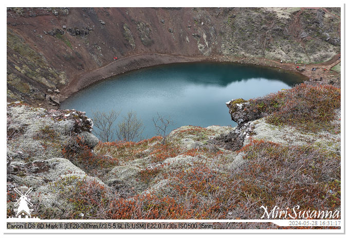
旖旎壯麗的凱瑞斯火山口湖是常被黃金圈(辛格韋德利國家公園、蓋錫爾間歇泉、黃金瀑布)行程附加的景點。這火山口深55米、寬170米、周長270米,已有三千多年的地質歷史。詳細介紹:Guide to Iceland (CN)
Kerid is een vulkanisch kratermeer in het gebied Grimsnes in Zuid-IJsland. Kerid is ongeveer drieduizend jaar oud, ongeveer 55 meter diep, 170 meter breed en met een omtrek van 270 meter. Meer informatie: Guide to Iceland (NL).
Kerid Crater, a volcanic crater lake in the Grímsnes area of South Iceland, is approximately three thousand years old. This crater is about 55m deep, 170m wide and 270m in circumference. More information: Guide to Iceland (EN).
Continue reading