Tag Archives: 2024

IS-D03。20240529 From Selfoss to Seljalandsfoss

Iceland IMG_5748

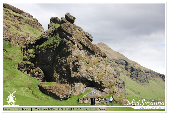
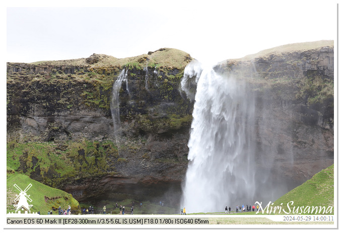
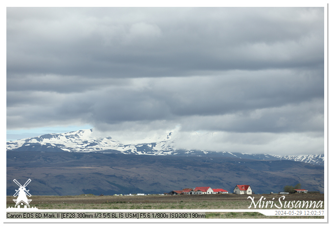
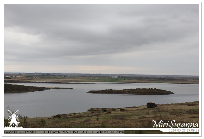
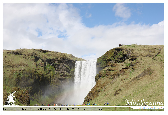
第三天的行程是從塞爾福斯到維克,途徑塞里雅蘭瀑布、峽谷河瀑布、森林瀑布。這是橫跨白河及肖爾索河盆地、往塞里雅蘭瀑布的沿途景色。
[NL] De derde dag waren we van Selfoss vertrokken, de watervallen (Seljalandsfoss, Gljúfurárfoss en Skógafoss) bezocht en bij Vik aangekomen voor overnachting. Die zijn de serie foto’s onderweg naar Seljalandsfoss door het stroomgebied van Hvítá and Þjórsá.
[EN] The third day of our tour was the day of waterfalls. We have visited Seljalandsfoss, Gljúfurárfoss and Skógafoss. These are the pictures from Selfoss to Seljalandsfoss, through the basin of Hvítá and Þjórsá.
Continue reading

20240706。伊莎貝拉堡 Fort Isabella, Vught

Fort Isabella Vught 20240706_135317

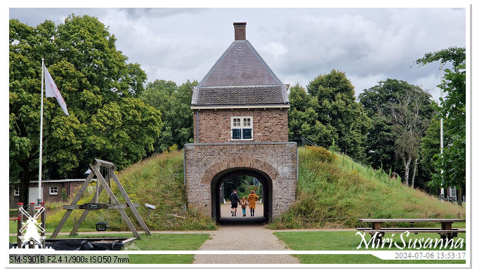
伊莎貝拉堡是座被重新規劃的堡壘。我們來這裡覓食,但時間緊迫,只是草草地逛了一圈。
[NL] Afgelopen zaterdag waren we per toeval bij Fort Isabella belandt voor lunchen, en daarna dit heringerichte gebied stukje bewonderd.
[EN] Fort Isabella at Vught, we were here last Saturday for lunch and a short walk.
Continue reading

IS-D02。20240528 塞爾福斯與奧富薩河流域 Selfoss & Ölfusá River

Selfoss IMG_5516

走完黃金圈,我們決定到塞爾福斯去吃肯德基。這是往返塞爾福斯、經過冰島流域最大的奧富薩河盆地的照片。
[NL] Na een dagje Golden Circle, gingen we naar Selfoss voor KFC. We reden heen en terug langs de Ölfusá rivier die met het grootste stroomgebied in IJsland (5.760 km2).
[EN] After a tiring Golden Circle trip, we decided to reward ourselves at KFC in Selfoss. These are the sceneries between our B&B and Selfoss, and Ölfusá River with the largest drainage basin in Iceland (5.760 km2).
Continue reading

IS-D02。20240528 凱瑞斯火口湖 Kerid Crater

Kerid Crater IMG_5436

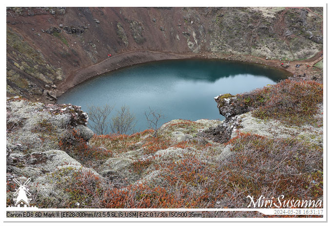
旖旎壯麗的凱瑞斯火山口湖是常被黃金圈(辛格韋德利國家公園、蓋錫爾間歇泉、黃金瀑布)行程附加的景點。這火山口深55米、寬170米、周長270米,已有三千多年的地質歷史。詳細介紹:Guide to Iceland (CN)
Kerid is een vulkanisch kratermeer in het gebied Grimsnes in Zuid-IJsland. Kerid is ongeveer drieduizend jaar oud, ongeveer 55 meter diep, 170 meter breed en met een omtrek van 270 meter. Meer informatie: Guide to Iceland (NL).
Kerid Crater, a volcanic crater lake in the Grímsnes area of South Iceland, is approximately three thousand years old. This crater is about 55m deep, 170m wide and 270m in circumference. More information: Guide to Iceland (EN).
Continue reading

IS-D02。20240528 From Gullfoss to Kerid Crater

Iceland IMG_5228

離開黃金瀑布,我們往回朝塞爾福斯的方向走,去凱瑞斯火口湖。這是沿途景觀。
[NL] Na Gullfoss, reden we terug richting Selfoss naar Kerid Crater. Die zijn de foto’s onderweg.
[EN] We’re heading Selfoss to Kerid Crater after visiting Gullfoss. These’re sceneries on the way.
Continue reading

IS-D02。20240528 黃金瀑布 Gullfoss Waterfall

Gullfoss IMG_5165

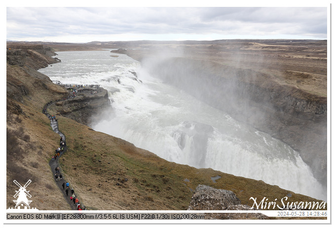
黃金瀑布Gullfoss離間歇泉約10公里,是黃金圈的三個主角之一。這是此行參觀的首座瀑布,我們皆被她的氣勢所震撼。
[NL] We gingen naar het derde en laatste hoogste punt van Golden Circle, de Gullfoss waterval. Die ligt 10km verder van Geysir, en was de eerst bezochte waterval in onze reis.
[EN] 10km away from Geysir, we found the first waterfall in our tour, the Gullfoss. Continue reading

IS-D02。20240528 蓋錫爾間歇泉 Strokkur of Geysir

Geysir IMG_5039

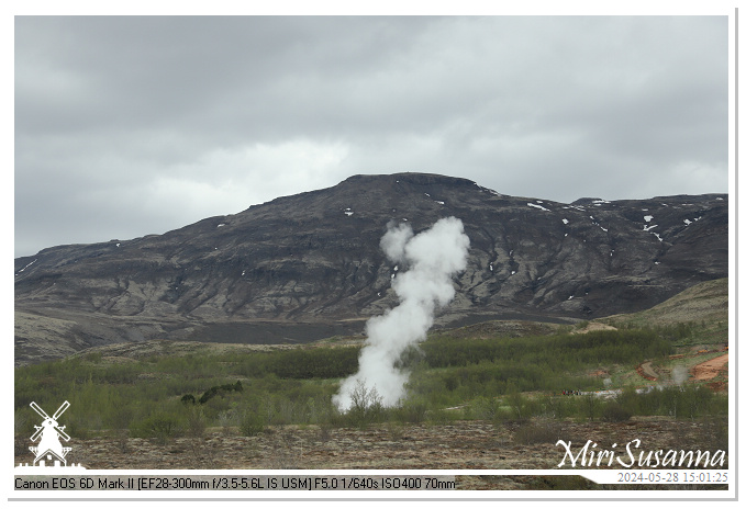
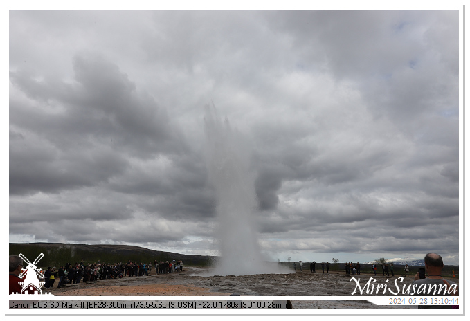
舉世聞名的蓋錫爾間歇泉,其真身已不再活躍。幸好她臨近還有史托克間歇泉讓我們親睹這壯觀的自然景象。
[NL] Geysir is een beroemde warmwaterbron in het geothermische gebied Haukadalur Valley. Hoewel Geysir zelf tegenwoordig zelden actief is, kunnen we de krachtige Strokkur in de buurt nog bewonderen.
[EN] Geysir is a famous hot spring in the geothermal area of Haukadalur Valley. Geysir itself is rarely active at the moment, but we still can enjoy the impressive show of the Strokkur at same area.
Continue reading

IS-D02。20240528 From Thingvillir to Geysir

Iceland IMG_4918

離開辛格韋德利國家公園後,我們直奔蓋錫爾間歇泉。這輯是沿途景色。
[NL] Na Thingvillir gingen we direct naar Geysir. Hierbij de foto’s onderweg.
[EN] We continued our journey to Geysir. These’re the photo’s on the way. Enjoy!
Continue reading

IS-D02。20240528 辛格韋德利國家公園 Thingvellir National Park

Thingvellir IMG_4699

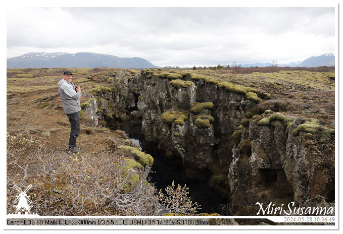
辛格韋德利是世界聯合國教科文組織遺產之一。歐亞大陸板塊與美洲大陸板塊在這會合,且暴露在海平面之上,是全球唯一能看到兩大地質板塊在陸上相會的地質奇觀。
[NL] Het Nationaal Park Thingvellir is een van de drie UNESCO-werelderfgoedlocaties van IJsland. Hier is de enige plek ter wereld dat de blootliggende Noord-Amerikaanse en Euraziatische tektonische platen op het land te zien.
[EN] Thingvellir National Park is one of three UNESCO World Heritage sites in Iceland. It is one of the only regions in the world where you can see the exposed North American and Eurasian tectonic plate on land.
Continue reading

IS-D02。20240528 From Reykjavik to Thingvellir National Park

Iceland IMG_4612

第二天我們開啟環島路線,從雷克雅維克往塞爾福斯,走黃金圈路線,經辛格韋德利國家公園、蓋錫爾間歇泉、黃金瀑布、凱瑞斯火口湖。這是從雷克雅維克到辛格韋德利國家公園的景色。
[NL] Vanaf de tweede dag gingen we rond IJsland reizen met auto. De Golden Circle van drie beroemde attracties (Thingvellir National Park, Geysir Hot Springs, Gullfoss) plus Kerid Crater waren de bestemmingen van die dag. Die zijn de foto’s onderweg naar Thingvellir.
[EN] The 2nd day, we left Reykjavik and began our journey through Iceland. We’ve visited the famous Golden Circle (Thingvellir National Park, Geysir Hot Springs, Gullfoss) and Kerid Crater this day. Here are the pictures on the way to Thingvellir.
Continue reading

IS-D01。20240527 哈爾格林姆教堂 Hallgrímskirkja of Reykjavik

IMG_4435

哈爾格林姆教堂為冰島最大及最高的教堂,可登其鐘樓觀賞雷克雅維克360度的全景,我們當然不錯過這機會囉!
[NL] De Hallgrímskirkja is IJslands hoogste kerkgebouw. We mogen 360 uitzicht van Reykjavik vanuit zijn toren te genieten. Zeker hebben we deze kans gepakt!
[EN] Hallgrímskirkja is the largest and tallest church in Iceland. We took the chance to visit it’s tower and enjoy the 360 panorama view of Reykjavik. Continue reading

IS-D01。20240527 艷麗多姿的雷克雅維克 Colourful Reykjavik

IMG_4359

雷克雅維克(參考維基),為全球最北端的主權國家冰島的首都、一座極受歡迎的旅遊城市。
[NL] Reykjavik is de hoofdstad van IJsland, ‘s werelds noordelijkste hoofdstad (Wikipedia). Hier is een populaire bestemming van de toeristen.
[EN] Reykjavik, the capital of Iceland, is a famous destination of tourists (Wikipedia). Continue reading